Accessing data at ASF is easy. Here's how to do it.
First:
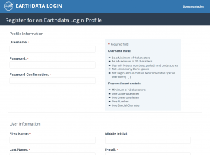
- Go to Register for an Earthdata Login Profile
- Fill in all the required fields. MAKE SURE TO SELECT A STUDY AREA
- Complete the registration process by clicking on the REGISTER FOR EARTHDATA LOGIN button
Next:
Please Note: This process must be completed in English!
- Go to ASF Vertex
- Click on Sign In
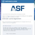
- You will be presented with a window showing the ASF End User License Agreement (EULA)
- Read the conditions of use for some of the datasets available from ASF
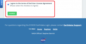
- At the end, check the box next to I agree to the terms of End User License Agreement
- Then click the AGREE button