

| Dataset | Sensors | Dates | Data |
|---|---|---|---|
| Global | |||
| Surface WAter Microwave Product Series (SWAMPS) Inundated Area Fraction Learn More | |||
SWAMPS v3.2
| SSM/I, SSMIS, ERS, QuikSCAT, ASCAT | 1992‑2020 | Download |
| SWAMPS v2.0 | AMSR-E, QuikSCAT | 2002‑2009 | GeoTIFF ENVI 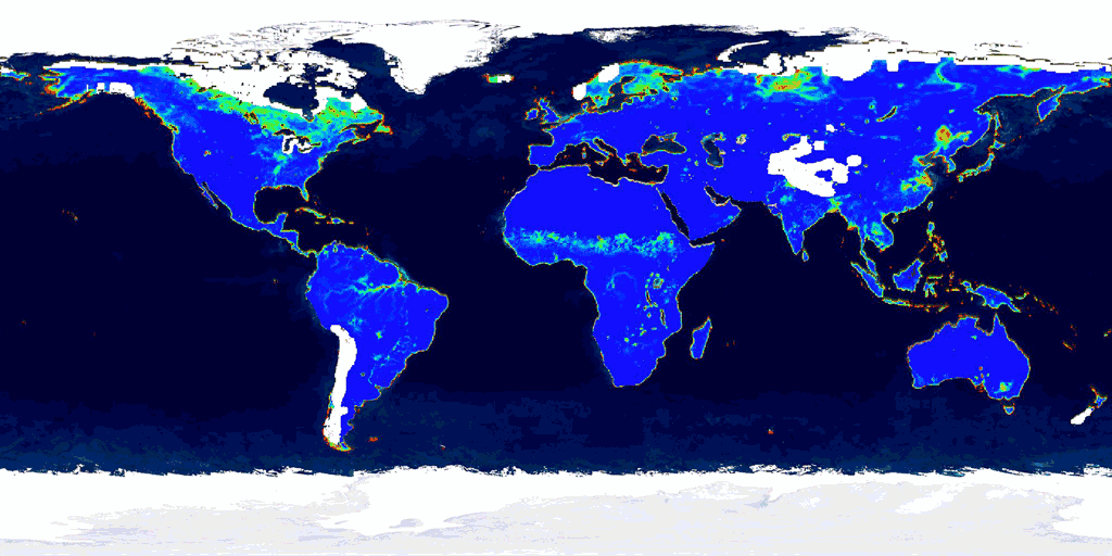 Browse Browse |
| North America | |||
| North America JERS-1 Mosaics Learn More | |||
| Summer Backscatter Mosaic | JERS-1 | 1998 | Download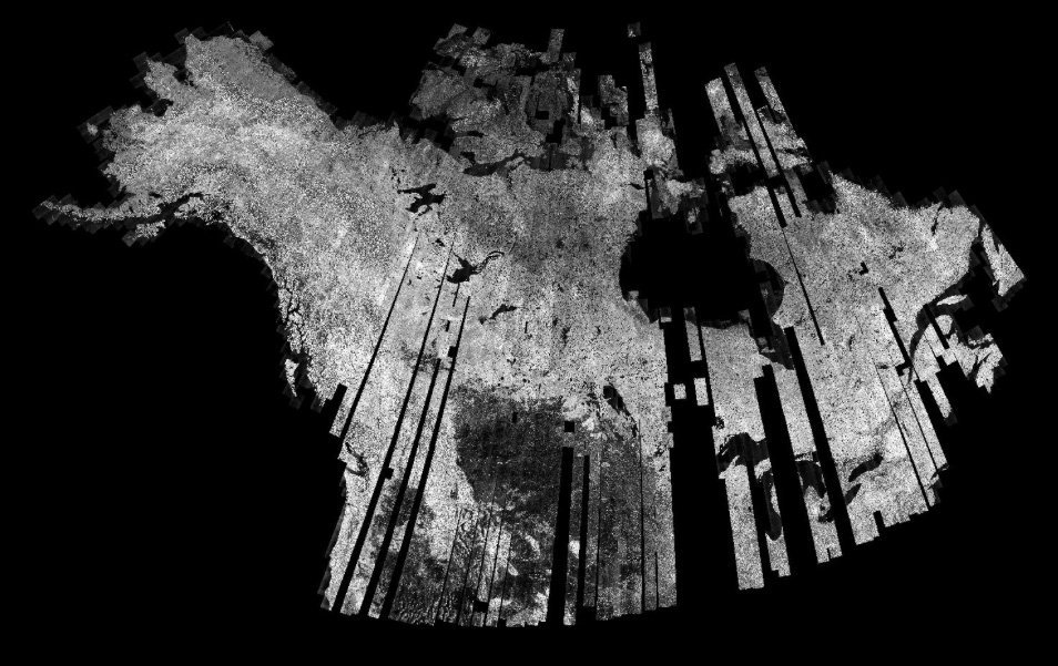 Browse Browse |
| Summer Texture Mosaic | JERS-1 | 1998 | Download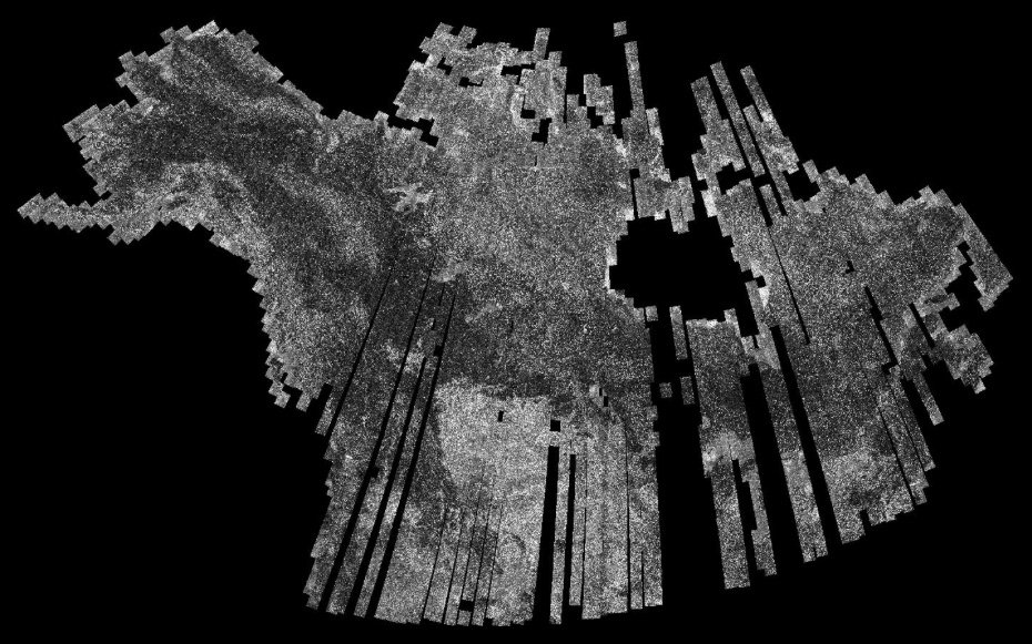 Browse Browse |
| Winter Texture Mosaic | JERS-1 | 1997-1998 | Download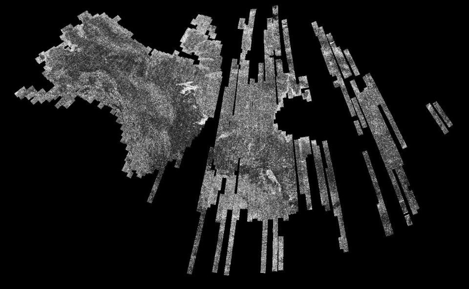 Browse Browse |
| Alaska | |||
| PALSAR Wetlands Map Learn More | ALOS PALSAR | 2007 | GeoTIFF KEA file 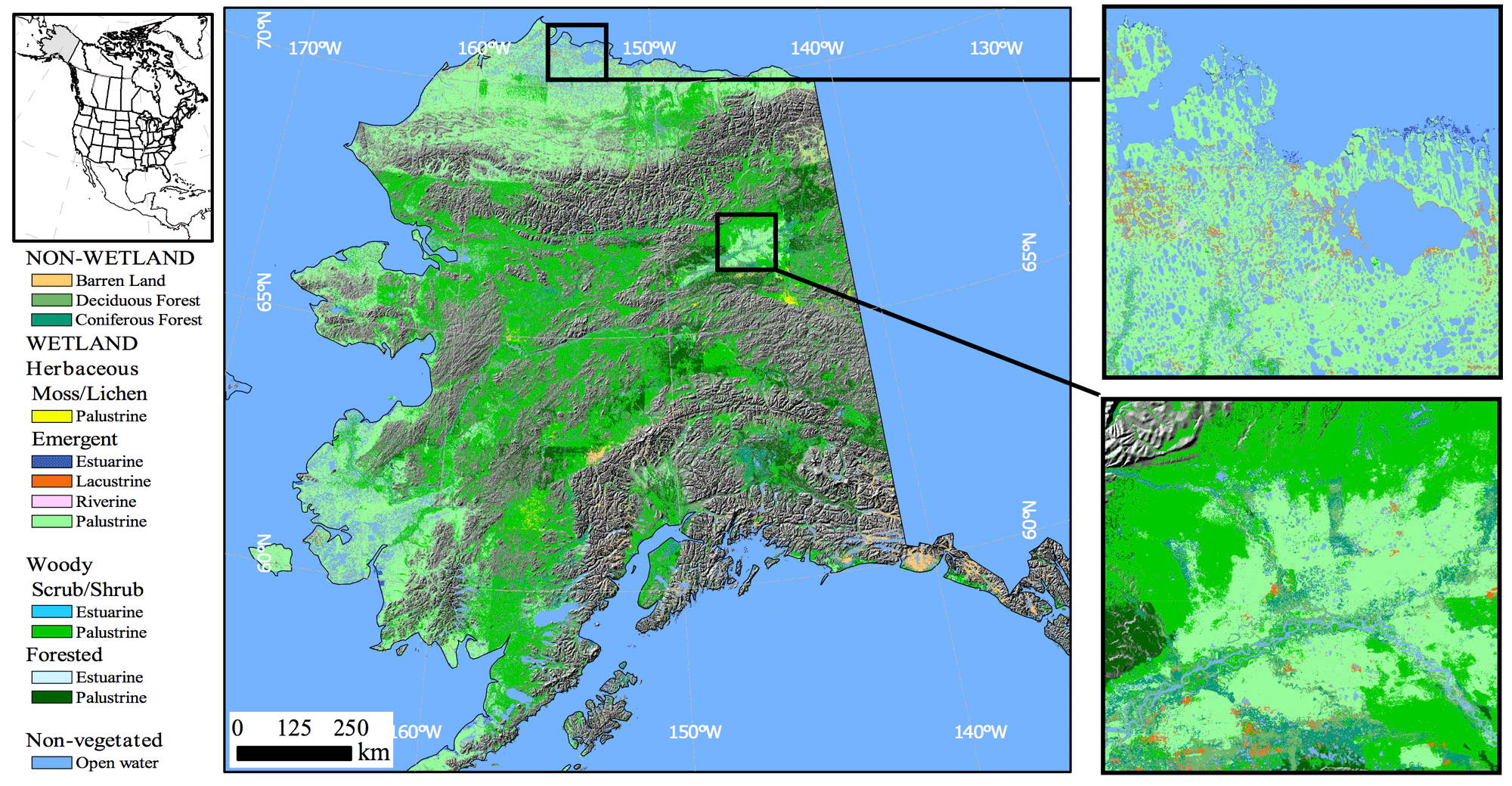 Browse Browse |
| JERS-1 Wetlands Map Learn More | JERS-1 | 1997-1998 | GeoTIFF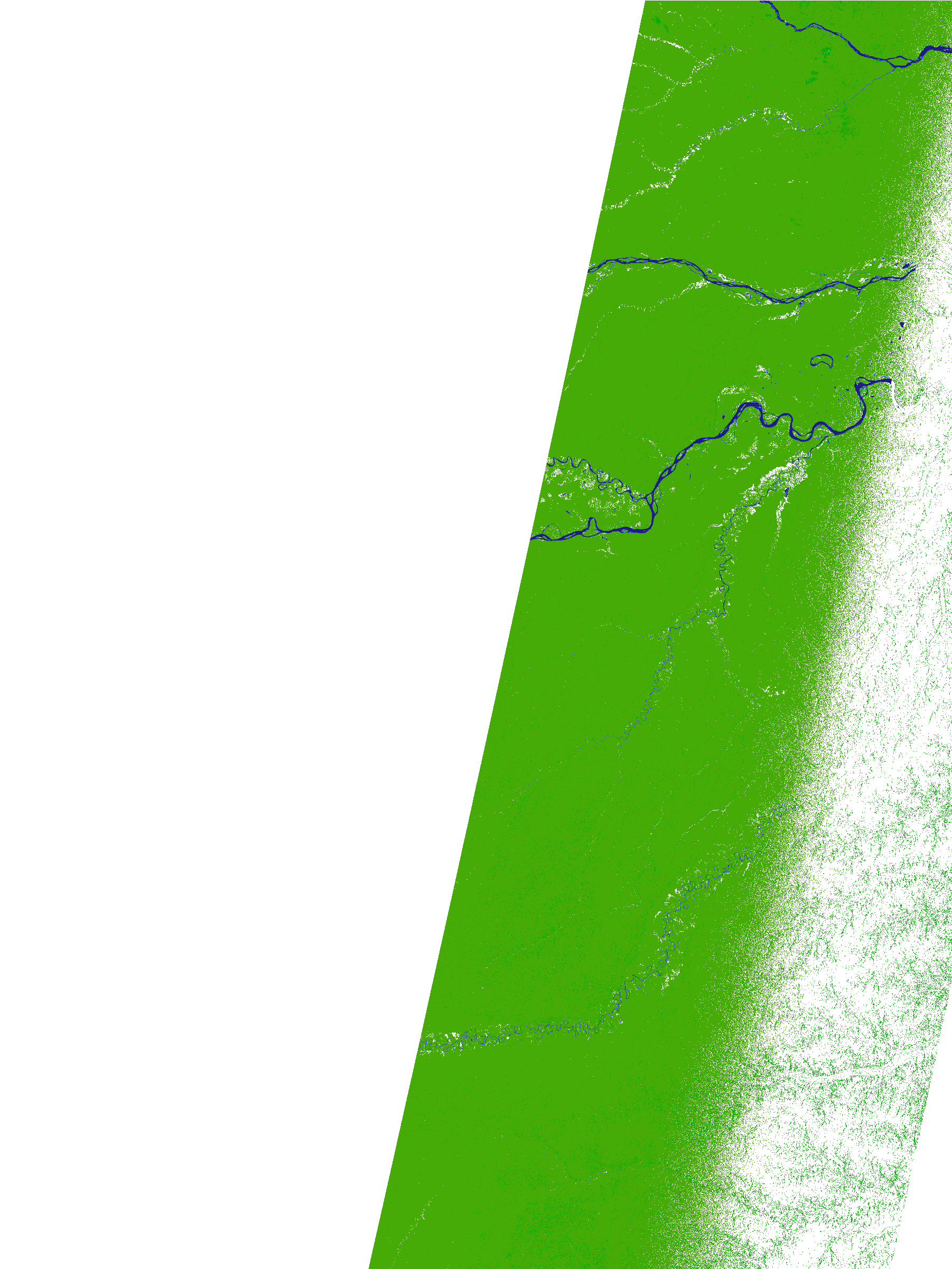 Browse Browse |
| South America (Amazon) | |||
| Amazon JERS-1 High Flood Backscatter Mosaic Learn More | JERS-1 | Mid-1996 | Download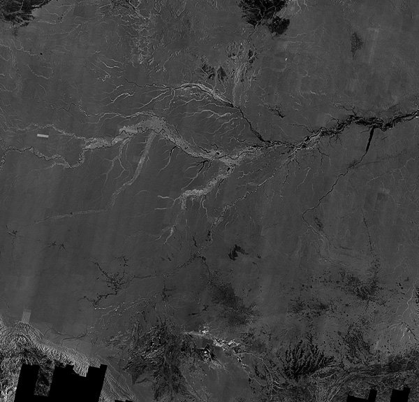 Browse Browse |
| Amazon JERS-1 Low Flood Mosaic Learn More | JERS-1 | Late 1995 | Download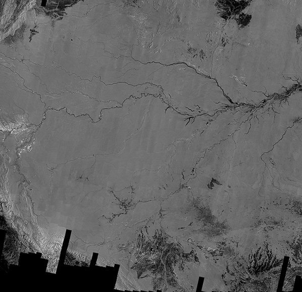 Browse Browse |
| Amazon PALSAR Wetland Extent Maps Learn More | PALSAR | 2006-2011 | Product Map Browse Browse |
| 17L, 17M, 17N, 17P, 18L, 18M, 18N, 18P, 19L, 19M, 19N, 19P, 20K, 20L, 20M, 20N, 20P, 21K, 21L, 21M, 21N, 21P, 22K, 22L, 22M, 22N, 23L, 23M | |||
