

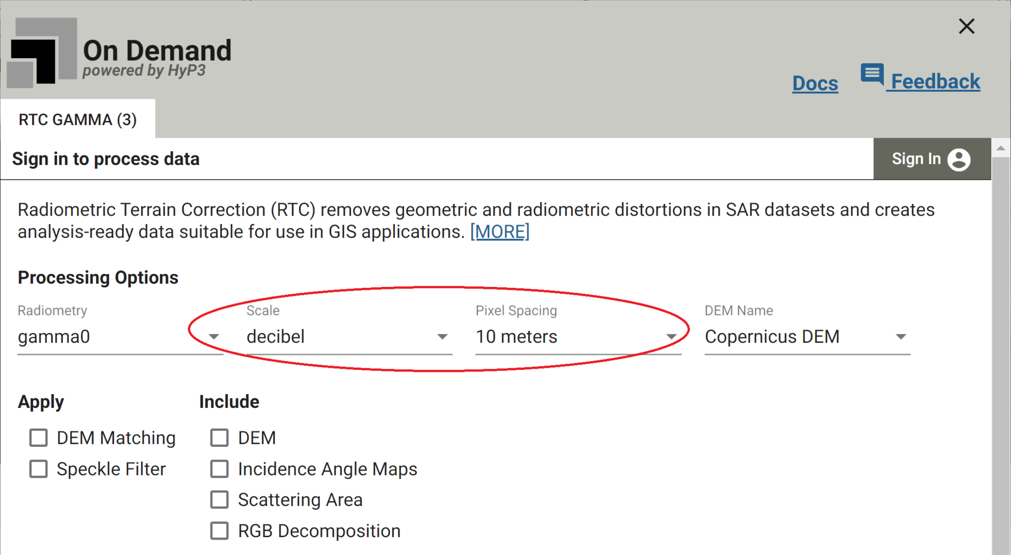
The Alaska Satellite Facility (ASF) has released new processing options for On Demand Sentinel-1 Radiometric Terrain Correction (RTC). RTC products can now be output at a pixel spacing of 10 meters and in decibel (dB) scale. The new options are available on Vertex, and in the HyP3 API and SDK.
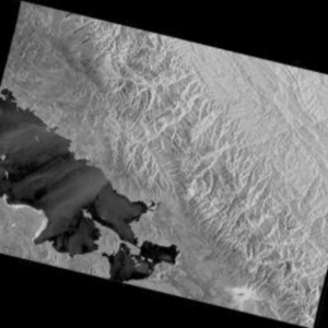
ASF offers On Demand processing for Sentinel-1 Synthetic Aperture Radar (SAR) data, including RTC. This process corrects for the geometric and radiometric distortions inherent in SAR imagery, generating a product that is suitable for GIS analysis and workflows that require the landscape features in the SAR imagery to align with other datasets.
Pixel Spacing Options
RTC products can now be output either at 30-meter or 10-meter pixel spacing. The 10-m RTC product will be closer to the resolution of the source SAR granule, but the 30-m RTC product has a much smaller file size. The same DEM (generally the GLO-30 Copernicus DEM, at 30-m pixel spacing) is used for processing both the 10-m and 30-m RTC products.
It is much faster to process and analyze 30-m RTC products, so it’s a good idea to start with the coarser resolution option if possible. If the 30-m product does not have sufficient detail for your use case, try the larger 10-m RTC products.
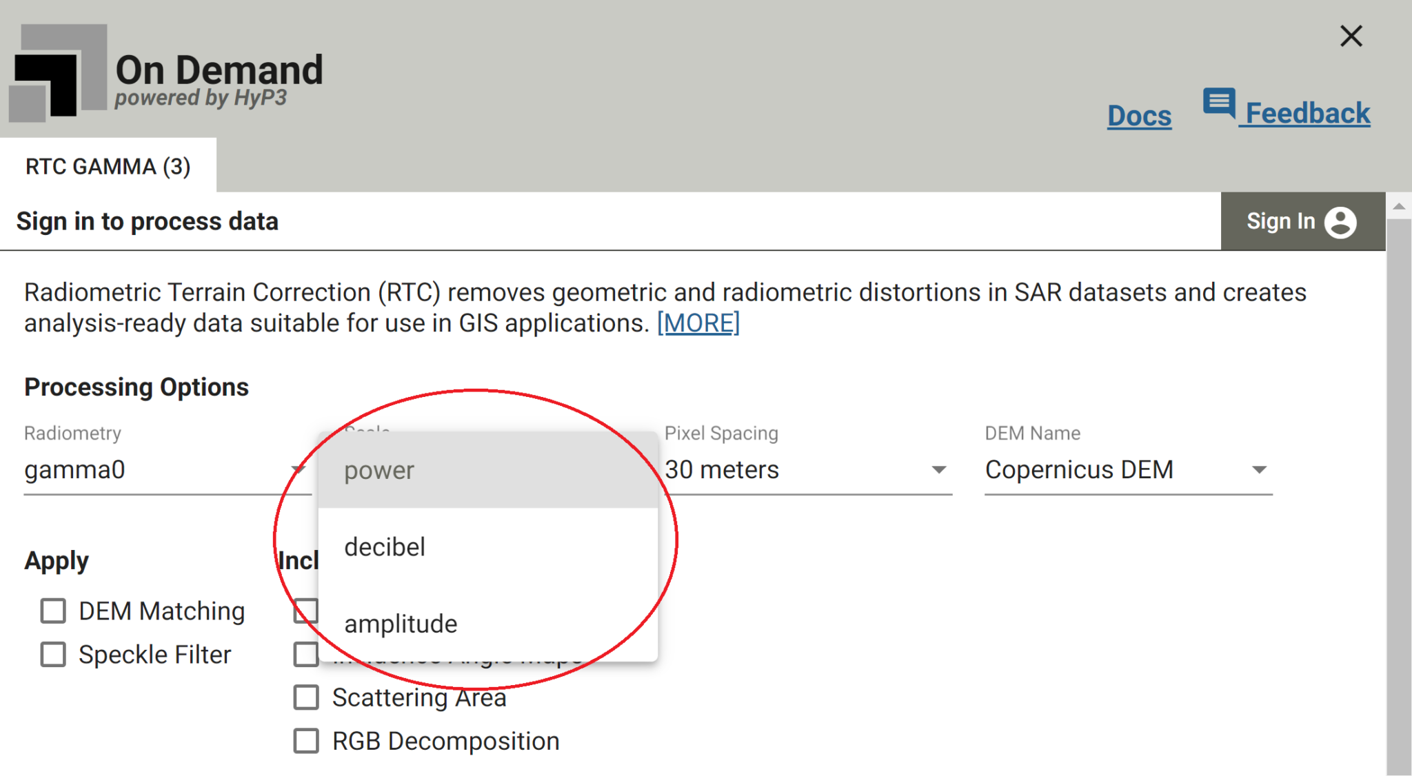
Output Scale Options
RTC products can now be output in decibel (dB) scale. There are three scales commonly used for calibrated SAR data: power, amplitude, and dB. Previously, only the power and amplitude scales were available as output options, but now products can be output in any of these three scales.
The tools in the ASF ArcGIS Toolbox have also been updated to accept RTC products in dB scale as input.
