Alaska Satellite Facility

ASF home graphic dish with satellite above and aurora in the sky

Headlines

Below is a collection of headlines, notices, and archived newsletters from the Alaska Satellite Facility’s News & Notes. View the latest newsletters below, and for training notices click here.

New StoryMap Tutorial: Change Detection using OPERA RTC-S1

This new tutorial demonstrates the process of using synthetic aperture radar (SAR) for visualizing changes in a landscape caused by distrubances such as floods, deforestation, agriculture, and freeze/thaw cycles.

It utilizes Sentinel-1 radiometric terrain corrected (RTC) SAR products created by the JPL OPERA Project and GIS software to detect differences in the backscatter signals of two images acquired over an area separated in time — before and after an event.

The tutorial steps through the process of searching for and downloading OPERA RTC data from ASF. Then it describes workflows for importing the data into ArcGIS or QGIS and performing change detection analysis.

While the workflows described in the tutorial use OPERA RTC-S1 burst products, the same workflows can be applied to Sentinel-1 frames processed using the ASF HyP3 On Demand service. This allows for studying a larger area than that covered by a single burst.

Explore Change Detection using OPERA Sentinel-1 RTC here:
https://storymaps.arcgis.com/stories/4f7ab712e40346809597b4ae8fd641ca

Sentinel-1 Satellite

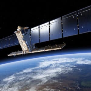
Sentinel-1B satellite mission ends

The European Space Agency announced today that efforts to repair the failed C-band SAR sensor onboard the Sentinel-1B satellite have ...
Read More
Heat Map of Interferometric coherence of SAR Data in Ascending Orbit

ASF Science Friday series continues August 26

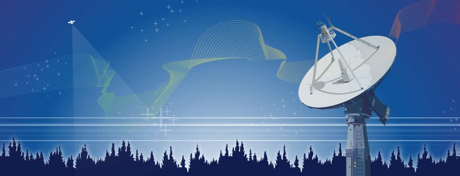
Monthly Lecture ASF is playing an increasing role in support of NASA’s Earth Science mission. A monthly lecture series features ...
Read More
Opera workshop aerial image of meandering river

NASA schedules second OPERA workshop

NASA and JPL will host a second OPERA project workshop on September 2, 2022. Participation is available in-person or virtually. ...
Read More
Image from Sentinel-1 reveal changes in the Earth's surface over one year

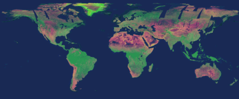
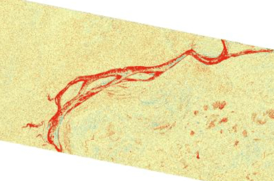
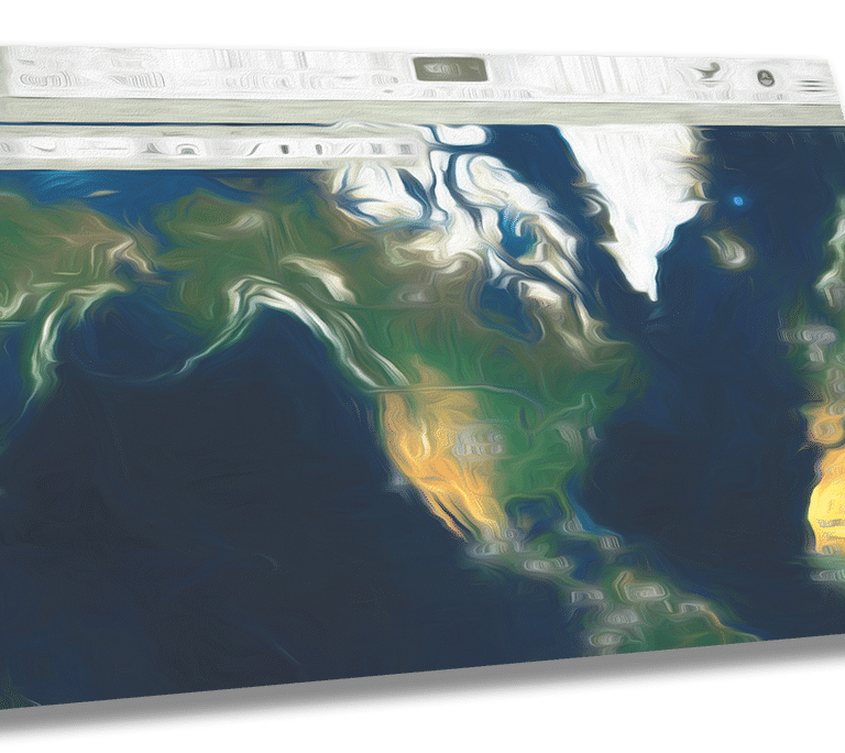
Sentinel-1 images reveal changes in the Earth’s surface over one year

A new set of satellite radar derived images provide a novel view of the face of Earth in unprecedented detail, ...
Read More
Sentinel-1 InSAR Storymap Earthquake Qinghai, China

Sentinel-1 InSAR StoryMap

In honor of National GIS Day 2021, ASF published a StoryMap exploring the ASF Sentinel-1 On Demand InSAR products. The ...
Read More
Icon of asf_search, a new python module available through PyPI and Conda

Python search library now available

We are pleased to announce asf_search, a new python module available through PyPI and Conda. Greatly simplifying search and download ...
Read More
Blue satellite dish antenna that sits atop the Elvey Building at the University of Alaska Fairbanks

ASF Celebrates 30 Years of Operations

For 30 years, ASF has provided consistent, high-quality access to Earth observation data acquired from space and from air. From ...
Read More
Dr. Bowman

Dr. Steve Bowman is profiled on the NASA Earthdata website

Dr. Bowman is the Geologic Hazards Program Manager with the Utah Geological Survey and member of the ASF DAAC User ...
Read More
Vertex Screenshot Image

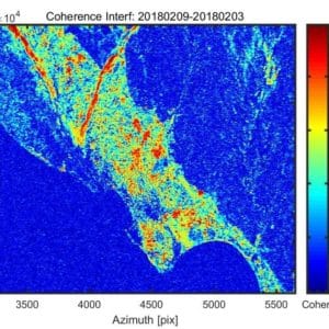
On Demand Sentinel-1 GAMMA InSAR and RTC Products Now Available in Vertex

Watch the video on how to download and use this new dataset.
Read More